File:Partie francaise saint domi.gif
From TLP

Size of this preview: 800 × 556 pixels. Other resolutions: 320 × 222 pixels | 1,800 × 1,250 pixels.
Original file (1,800 × 1,250 pixels, file size: 406 KB, MIME type: image/gif)
(NOTE: click on link to high resolution image for a better view.)
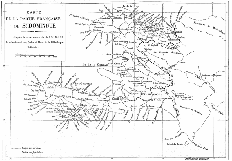
French map of Saint Domingue by Marcel Mehl, showing the boundaries within the French colony.
Title: Carte de la partie française de St. Domingue
d'après la carte manuscrite Ge B SH.146.2.9
du département des Cartes et Plans de la Bibliothèque Nationale.
File history
Click on a date/time to view the file as it appeared at that time.
| Date/Time | Thumbnail | Dimensions | User | Comment | |
|---|---|---|---|---|---|
| current | 10:56, 5 December 2005 | | 1,800 × 1,250 (406 KB) | Doe (talk | contribs) | French map of Saint Domingue by Marcel Mehl, showing the boundaries within the French colony. <br><br> Title:Carte de la partie française de St. Domingue<br> d'après la carte manuscrite Ge B SH.146.2.9<br> du département des Cartes et Plans de la B |
- You cannot overwrite this file.
File usage
The following 3 pages link to this file: