File:Haiti political map.jpg
From TLP

Size of this preview: 800 × 557 pixels. Other resolutions: 320 × 223 pixels | 1,456 × 1,013 pixels.
Original file (1,456 × 1,013 pixels, file size: 265 KB, MIME type: image/jpeg)
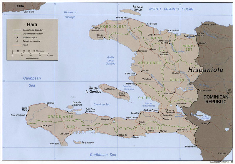
Political map of Haiti (1999).
Note:: Select high resolution image for better view.
File history
Click on a date/time to view the file as it appeared at that time.
| Date/Time | Thumbnail | Dimensions | User | Comment | |
|---|---|---|---|---|---|
| current | 03:48, 7 December 2005 | | 1,456 × 1,013 (265 KB) | Doe (talk | contribs) | Political map of Haiti (1999). |
- You cannot overwrite this file.
File usage
The following 2 pages link to this file: