Category:Maps
From TLP
Revision as of 15:20, 25 August 2007 by Doe (talk | contribs) (Reverted edits by 192.72.124.11 (Talk); changed back to last version by Doe)
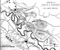
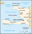
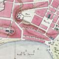
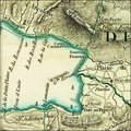
Maps and aerial photos relating to the Caribbean Sea, Haiti and Saint-Domingue.
Subcategories
This category has the following 2 subcategories, out of 2 total.
Media in category "Maps"
The following 21 files are in this category, out of 21 total.


